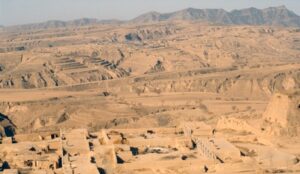
Arid Regions
- Rainfall < 25 cm annually
- High evaporation
- Sparse vegetation
- Dominant processes → Wind (Aeolian) + Flash floods
I. WATER ERODED ARID LANDFORMS
Rill
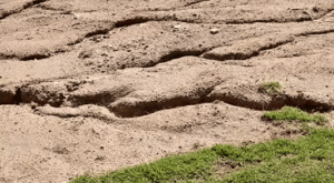
- Small, shallow channels
- First stage of fluvial erosion
- Formed by runoff after sudden rain
Gully
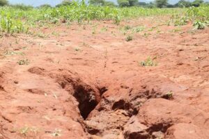
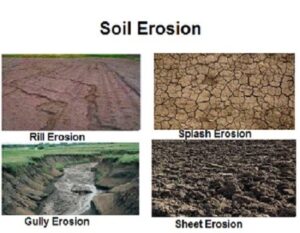
- Larger & deeper than rill
- Cannot be removed by normal ploughing
- Advanced erosion stage
Ravine
- Larger than gully
- Narrower than canyon
- Example: Chambal region
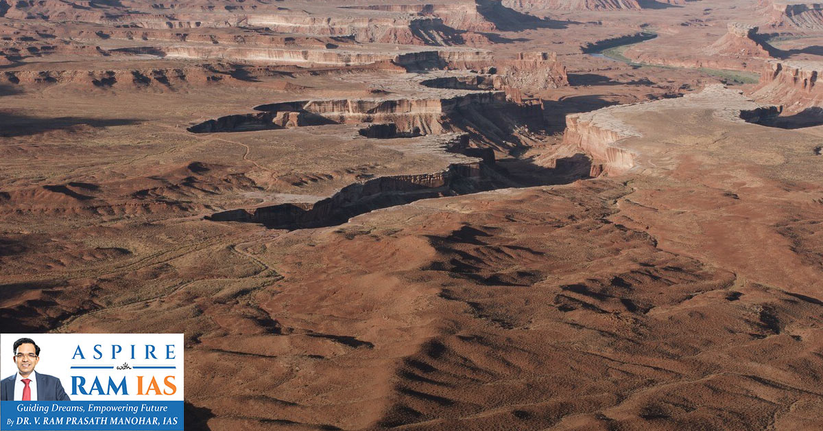
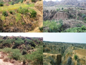
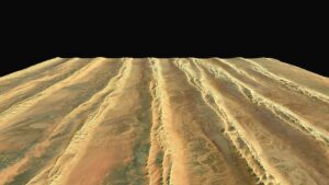
Badland Topography
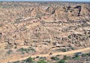
- Network of rills, gullies, ravines
- Formed in weak sedimentary rocks
- Highly dissected terrain
Bolsons
- Intermontane basins in arid areas
- Closed drainage system
Playas
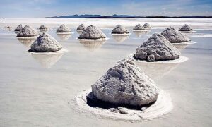
- Temporary lakes in bolsons
- After evaporation → Salina (salt crust)
Pediment
- Gently sloping rock-cut surface
- Located at mountain foot
- Erosional landform
- NOT depositional (common Prelims trap)
Bajada
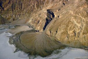
- Formed by merging of alluvial fans
- Depositional
- Located between pediment & playa
II. WIND ERODED ARID LANDFORMS
Aeolian Processes:
- Deflation → Removal of loose particles
- Abrasion → Sand blasting
- Attrition → Particle collision
Deflation Basin (Blowout)
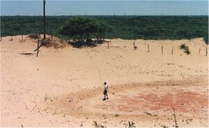
- Hollow formed due to removal of particles
- May reach several km diameter
Mushroom Rock (Rock Pedestal)
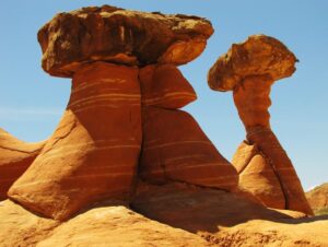
- Narrow base, broad top
- Due to greater abrasion near ground
- Different from yardang
Inselberg (Monadnock)
- Isolated hill rising abruptly from the plain
- Residual landform
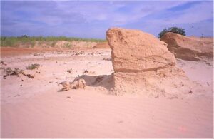
Demoiselles
- Rock pillars
- Hard rock protects softer rock below
- Differential erosion
Zeugen
- Table-shaped rock mass
- Resistant cap rock
- Undercutting of softer rock
Yardang
- Streamlined ridge
- Parallel to prevailing wind
Wind Windows & Bridges
- Holes created by abrasion
- If widened → arch (bridge)
III. WIND DEPOSITIONAL LANDFORMS
Ripple Marks
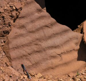
- Small-scale ridges
- Formed by saltation
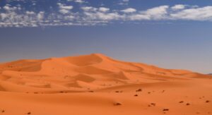
SAND DUNES
Longitudinal Dunes
- Parallel to wind
- Also called Seif dunes
Transverse Dunes
- Perpendicular to wind
- Form when sand supply abundant
Barchans
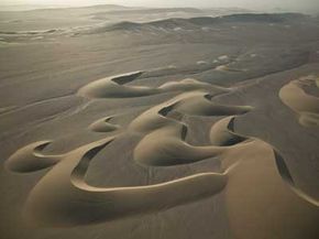
- Crescent-shaped
- Horns point downwind
- Form in limited sand areas
Parabolic Dunes
- U-shaped
- Horns point upwind
- Often vegetation anchored
Star Dunes
- Central peak
- Multi-directional winds
Loess
- Wind-blown fine silt
- Very fertile soil
- Major deposits → China (Yellow River), USA (Missouri Basin)